


Intrepid Travel
DealGorillas to Vic Falls
Kenya, Malawi, Tanzania, Uganda, Zambia, Zimbabwe · 42 days · Moderate5.0(2)
fromCAD 8,904
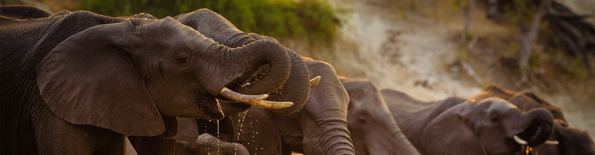
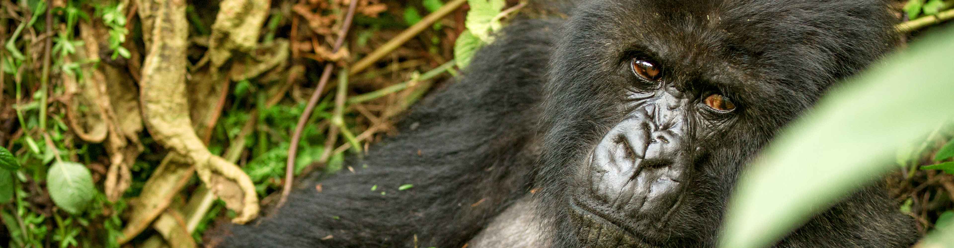
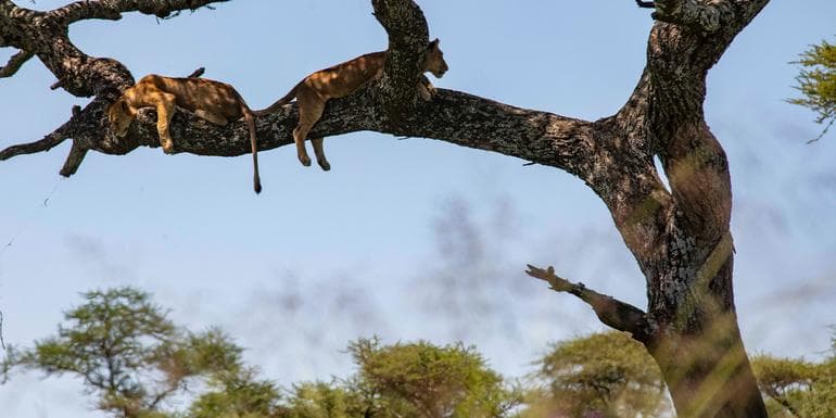
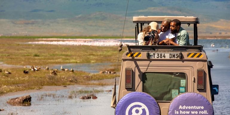
Next: 20 JunTravel from Zanzibar's pristine coastline to the southern hub of Cape Town to see an array of amazing African vistas. Sample the exotic flavours of Africa's 'Spice Island', relax on Kande Beach at Lake Malawi, scale the sand dunes in Sossusvlei, glide through the Okavango Delta by local mokoro and keep your eyes peeled for elephants, hippos, crocodiles and lions on your multiple included game drives. With an expert local leader and a small group of eager travellers joining you each step of the way, this incredible adventure will open your eyes to the natural beauty of southern Africa.

 Stone Town
 Zanzibar Northern Beaches
 Zanzibar Northern BeachesStone Town
 Mikumi National Park
 Iringa
 Chitimba
 Lake Malawi
 Lake Malawi
 South Luangwa National Park
 South Luangwa National Park
 Petauke
 Lusaka
 Harare
 Great Zimbabwe Ruins
 Bulawayo
 Bulawayo
 Victoria Falls
 Victoria Falls
 Victoria Falls
 Chobe National Park
 Chobe National Park
 Bagani
 Okavango Delta
 Okavango DeltaBagani
 Grootfontein
 Grootfontein
 Etosha National Park
 Etosha National Park
 Spitzkoppe
 Swakopmund
 Swakopmund
 Swakopmund
 Sesriem
 Sossusvlei
 Fish River Canyon
 Orange River
 Western Cape
 Cape Town
Based on 29 reviews · via Intrepid Travel
A glimpse of the destination you'll explore.
A TripFinder-trusted operator. We compare the trip and handle your booking with a real advisor — you travel under the operator's terms.
Book my trip →Kenya, Malawi, Tanzania, Uganda, Zambia, Zimbabwe · 42 days · Moderate5.0(2)
Tanzania, Namibia, South Africa, Malawi, Botswana, Zimbabwe, Kenya, Zambia · 40 days · Moderate
Tanzania, Namibia, South Africa, Malawi, Botswana, Zimbabwe, Kenya, Zambia · 40 days · Moderate