


G Adventures
Save 20%Zagreb to Santorini: 35 Unforgettable Days
Bosnia and Herzegovina, Albania, Greece, Montenegro, Croatia · 35 days · Easy
fromCAD 7,679
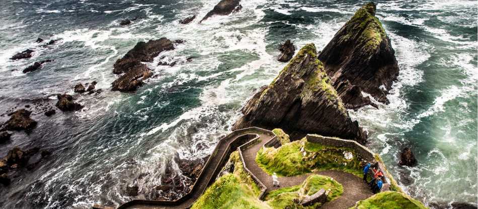
Next: 21 JunWalking tour in Ireland: Hike the coastal paths and mountain trails of the Dingle Peninsula on a self guided walking holiday in Ireland.

Based on 30 reviews · via UTracks
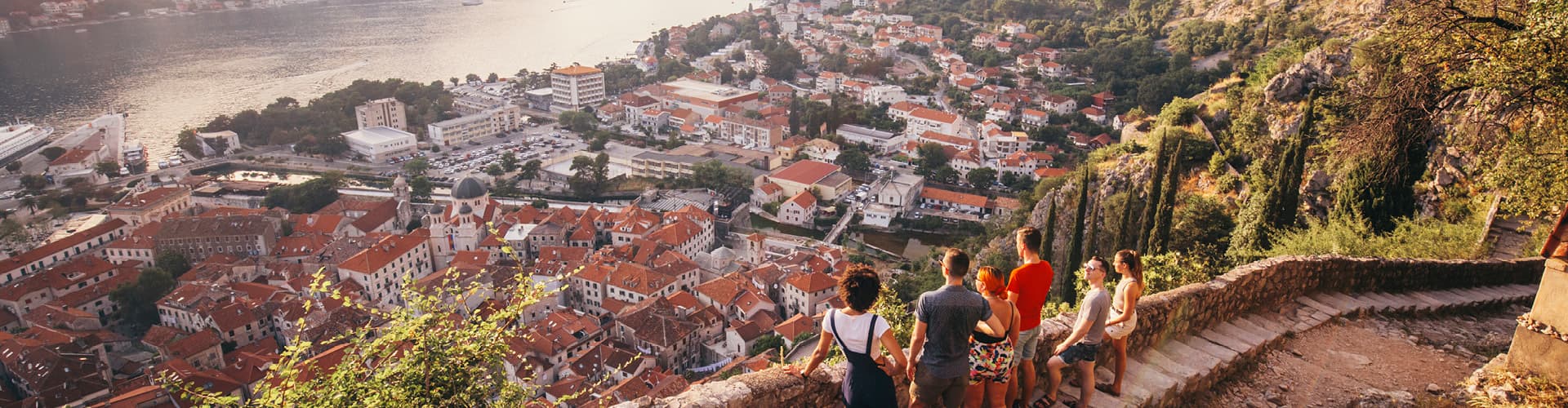
A glimpse of the destination you'll explore.
A TripFinder-trusted operator. We compare the trip and handle your booking with a real advisor — you travel under the operator's terms.
Book my trip →Bosnia and Herzegovina, Albania, Greece, Montenegro, Croatia · 35 days · Easy

Bosnia and Herzegovina, Albania, Greece, Montenegro, Croatia · 29 days · Easy
Austria, Bosnia and Herzegovina, Croatia, Czechia, Hungary, Montenegro, Poland, Serbia, Slovakia · 29 days · Easy4.9(9)