Chamonix to Zermatt Guided Hike
Operated by UTracks

Chamonix to Zermatt Guided Hike

From
CAD 3,720
Duration
10 days
Countries
France
Activity
moderate
Rating
4.2 · 10 reviewsvia UTracks

The adventure

Hike the stunning Haute Route trail from Chamonix Valley to Zermatt on a rewarding 10-day tour. Explore the Alps with an expert local guide & small group.

At a glance

Duration
10 days
Route
Countries
France
Activity level
moderate
Style
Trekking & Hiking
Group size
Ask
Flights
Not included
Solo travellers
Ask an agent

Day by day

Serene scene of rowboats moored by a lush green lakeside in Fontainebleau, France.
Your journey through

France

Day 1Day 1: Meet guide and group in Le…Leaving from the village of Le Tour we take the scenic high mountain path of Balme heading towards Switzerland. Weather permitting you will be able to take some wonderful photos of the Mont Blanc chain including the impressive “La Verte”, the Drus and the Needles of Chamonix. We will cross the border between France and Switzerland before making our way down to the village of Trient for overnight accommodation. Distance 12km/7.5mi, +1050m/3445ft, -980m/3215ft
Leaving from the village of Le Tour we take the scenic high mountain path of Balme heading towards Switzerland. Weather permitting you will be able to take some wonderful photos of the Mont Blanc chain including the impressive “La Verte”, the Drus and the Needles of Chamonix. We will cross the border between France and Switzerland before making our way down to the village of Trient for overnight accommodation. Distance 12km/7.5mi, +1050m/3445ft, -980m/3215ft
Day 2Day 2: Cross the Fenetre d’Arpette and continue to Champex (6-7hrs)There are two alternative routes between Trient and Champex. The first is the Bovine path which involves crossing the Forclaz Pass (1527m), with beautiful views. The other is the “Fenêtre d'Arpette” (2665m) route, which is a variant on the Tour du Mont Blanc and quite challenging. Our aim is to always take this trail except in bad weather. It is not as well defined as the Bovine route but, as with many pass crossings, the rewards on a good weather day are the extraordinary views to the Trient Glacier. The descent to Champex is steep, though you'll have the opportunity to have a hot shower at the lodge. The decision on which path will be taken is always at the discretion of the guide. Distance 14km/8.7mi, +1200m/3937ft, -1180m/3871ft
There are two alternative routes between Trient and Champex. The first is the Bovine path which involves crossing the Forclaz Pass (1527m), with beautiful views. The other is the “Fenêtre d'Arpette” (2665m) route, which is a variant on the Tour du Mont Blanc and quite challenging. Our aim is to always take this trail except in bad weather. It is not as well defined as the Bovine route but, as with many pass crossings, the rewards on a good weather day are the extraordinary views to the Trient Glacier. The descent to Champex is steep, though you'll have the opportunity to have a hot shower at the lodge. The decision on which path will be taken is always at the discretion of the guide. Distance 14km/8.7mi, +1200m/3937ft, -1180m/3871ft
Day 3Day 3: Short transfer to Bourg St Pierre…After breakfast we have a short bus transfer to Bourg Saint Pierre in the Entremont valley. We then hike along a wonderful panoramic trail with views over the whole Mont Blanc range and Dents du Midi to reach the Cabane des Mille. Note: this morning, pack your overnight requirements for the next 3 nights into your day pack. This includes your sleep sheet, night wear, toiletries and a change of clothes. Distance 11km/6.8mi, +1050m/3445ft, -200m/656ft
After breakfast we have a short bus transfer to Bourg Saint Pierre in the Entremont valley. We then hike along a wonderful panoramic trail with views over the whole Mont Blanc range and Dents du Midi to reach the Cabane des Mille. Note: this morning, pack your overnight requirements for the next 3 nights into your day pack. This includes your sleep sheet, night wear, toiletries and a change of clothes. Distance 11km/6.8mi, +1050m/3445ft, -200m/656ft
Day 4Day 4: Continue trek to Cabane de Louvie (5-6hrs)The trek today takes us across the Alp du Val de Bagnes to Cabane Brunet where we can appreciate the wonderful mountain scenery. On a clear day there are views of the Grand Combin and Mont Blanc. From Brunet we take a bus transfer to Fionnay where we commence hiking to Cabane de Louvie. Tonight we will stay overnight in a mountain hut. Note: You will need to carry your overnight gear including clothing and toiletries for day 5, as the luggage transfer is not possible today. Distance 11.8km/7.3mi, +1020m/3346ft, -650m/2132ft
The trek today takes us across the Alp du Val de Bagnes to Cabane Brunet where we can appreciate the wonderful mountain scenery. On a clear day there are views of the Grand Combin and Mont Blanc. From Brunet we take a bus transfer to Fionnay where we commence hiking to Cabane de Louvie. Tonight we will stay overnight in a mountain hut. Note: You will need to carry your overnight gear including clothing and toiletries for day 5, as the luggage transfer is not possible today. Distance 11.8km/7.3mi, +1020m/3346ft, -650m/2132ft
Day 5Day 5: Cabane de Louvie to Col de Praz Fleuri (5-6hrs)An early morning start as it's a big day trekking across three alpine passes. We may encounter ibex as they are often seen on the remote mountain passes. A steep descent leads to the Grand Desert, a moraine-strewn area of dry glacier. We will cross the glacier to reach the Col de Praz Fleuri at 2965m/9730ft. Continue to the refuge Prafleuri where we stay overnight. Distance 11km/6.8mi, +1100m/3609ft, -700m/2296ft
An early morning start as it's a big day trekking across three alpine passes. We may encounter ibex as they are often seen on the remote mountain passes. A steep descent leads to the Grand Desert, a moraine-strewn area of dry glacier. We will cross the glacier to reach the Col de Praz Fleuri at 2965m/9730ft. Continue to the refuge Prafleuri where we stay overnight. Distance 11km/6.8mi, +1100m/3609ft, -700m/2296ft
Day 6Day 6: Praz Fleuri to Les Haudères (6-7hrs)Today we will hike up the banks of the Dixence River and over the Riedmatten pass. We may get our first glimpse of the Matterhorn. Continue down to the village of Arolla and transfer by bus to Les Hauderes, where we will stay in a Gite and can have a well deserved shower! Distance 18.7km/11.6mi, +870m/2854ft, -1550m/5085ft
Today we will hike up the banks of the Dixence River and over the Riedmatten pass. We may get our first glimpse of the Matterhorn. Continue down to the village of Arolla and transfer by bus to Les Hauderes, where we will stay in a Gite and can have a well deserved shower! Distance 18.7km/11.6mi, +870m/2854ft, -1550m/5085ft
Day 7Day 7: Les Haudères to Grimentz via the Torrent Pass (4-5hrs)After a bus transfer to Mayen de Cotters we have a shorter day hiking through flower filled pastures to get to the Torrent pass (2919m/9575ft). We continue through the Moiry Valley and to the Sorrebois pass (2800m/9185ft) and enjoying breathtaking views of the surrounding 4000+m peaks of Valais: Dent Blanche (4356m), Zinalrothorn (4221m), Obergabelhorn (4063m) and Weisshorn (4504m). From Barrage Moiry we take another bus to our overnight stay at Saint Jean. Distance 10km/6.2mi, +840m/2756ft, -680m/2231ft
After a bus transfer to Mayen de Cotters we have a shorter day hiking through flower filled pastures to get to the Torrent pass (2919m/9575ft). We continue through the Moiry Valley and to the Sorrebois pass (2800m/9185ft) and enjoying breathtaking views of the surrounding 4000+m peaks of Valais: Dent Blanche (4356m), Zinalrothorn (4221m), Obergabelhorn (4063m) and Weisshorn (4504m). From Barrage Moiry we take another bus to our overnight stay at Saint Jean. Distance 10km/6.2mi, +840m/2756ft, -680m/2231ft
Day 8Day 8: Cross the Meidpass to Grüben (5-6hrs)Start the day with a short transfer to Saint-Luc. Today's route then takes us across the Anniviers valley located on the left bank of the Rhone. We leave the valley through the Meidpass (2790m), before descending to the village of Grüben in the Turtmantal, a narrow valley inhabited only in summer and where German is the main language. Our accommodation tonight is a hotel in the village. Distance 11.8km/7.3mi, +720m/2362ft, -1090m/3576ft
Start the day with a short transfer to Saint-Luc. Today's route then takes us across the Anniviers valley located on the left bank of the Rhone. We leave the valley through the Meidpass (2790m), before descending to the village of Grüben in the Turtmantal, a narrow valley inhabited only in summer and where German is the main language. Our accommodation tonight is a hotel in the village. Distance 11.8km/7.3mi, +720m/2362ft, -1090m/3576ft
Day 9Day 9: Grüben to Zermatt Valley (7hrs)Today we will trek via the Augsbord Pass (2894m/9495ft), enjoying panoramic views of the Oberland and Valais. We will continue through Jurgen and St Nicklaus before arriving into the Zermatt Valley. We will either catch a bus or a train into the lively resort town of Zermatt, where we stay overnight in a hotel. Distance 18km/11.2mi, +1075m/3527ft, -1880m/6168ft
Today we will trek via the Augsbord Pass (2894m/9495ft), enjoying panoramic views of the Oberland and Valais. We will continue through Jurgen and St Nicklaus before arriving into the Zermatt Valley. We will either catch a bus or a train into the lively resort town of Zermatt, where we stay overnight in a hotel. Distance 18km/11.2mi, +1075m/3527ft, -1880m/6168ft
Day 10Day 10: Trek with views of the Matterhorn (4hrs), trip ends ZermattOur last hike is along a trail facing the Hornli ridge of the Matterhorn with a superb panorama of the 4000m peak Monte Rosa (4634m). The Matterhorn is steeped in a history of human dramas. The first attempt to reach the summit was made in 1857, with the first successful attempt made by Edward Whymer in 1865. After a few hours hiking we will return to Tasch /Zermatt where our tour will end early afternoon. Distance 6km/3.7mi, +443m/1453ft, -443m/1453ft
Our last hike is along a trail facing the Hornli ridge of the Matterhorn with a superb panorama of the 4000m peak Monte Rosa (4634m). The Matterhorn is steeped in a history of human dramas. The first attempt to reach the summit was made in 1857, with the first successful attempt made by Edward Whymer in 1865. After a few hours hiking we will return to Tasch /Zermatt where our tour will end early afternoon. Distance 6km/3.7mi, +443m/1453ft, -443m/1453ft

Traveller reviews

4.2

Based on 10 reviews · via UTracks

Discover France

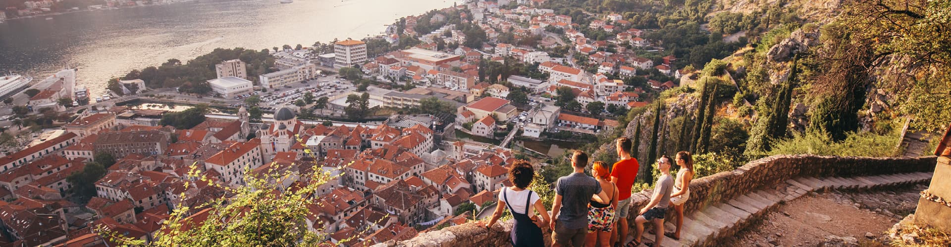
A glimpse of the destination you'll explore.

Scenic view of a tranquil village surrounded by lush greenery in Bornel, France.
Explore the picturesque village of Estaing and its historic castle surrounded by lush greenery and a serene river.
Scenic spring view of vibrant colza fields and lush green hills in Creuse, France.
Serene countryside road through green fields in Gommecourt, IDF, France.
Scenic view of a charming French village with blooming flowers in springtime.

Upcoming departures

DatesPrice / personAvailability
25 Jun 20264 Jul 2026CAD 3,720Sold outBook my trip
Operated by UTracks

A TripFinder-trusted operator. We compare the trip and handle your booking with a real advisor — you travel under the operator's terms.

Book my trip →

More Europe adventures

Zagreb to Santorini: 35 Unforgettable Days image
G Adventures
Save 20%

Zagreb to Santorini: 35 Unforgettable Days

Bosnia and Herzegovina, Albania, Greece, Montenegro, Croatia · 35 days · Easy

fromCAD 7,679
Next: 21 Jun
Zagreb to Athens: Monasteries & The Mediterranean image
G Adventures
Save 20%

Zagreb to Athens: Monasteries & The Mediterranean

Bosnia and Herzegovina, Albania, Greece, Montenegro, Croatia · 29 days · Easy

fromCAD 5,839
Next: 21 Jun
Intrepid Travel Montenegro Kotor
Intrepid Travel
Deal

Vienna to Dubrovnik

Austria, Bosnia and Herzegovina, Croatia, Czechia, Hungary, Montenegro, Poland, Serbia, Slovakia · 29 days · Easy4.9(9)

fromCAD 6,923
Next: 20 Jun